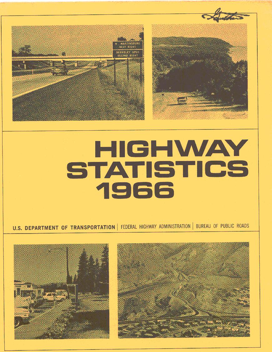
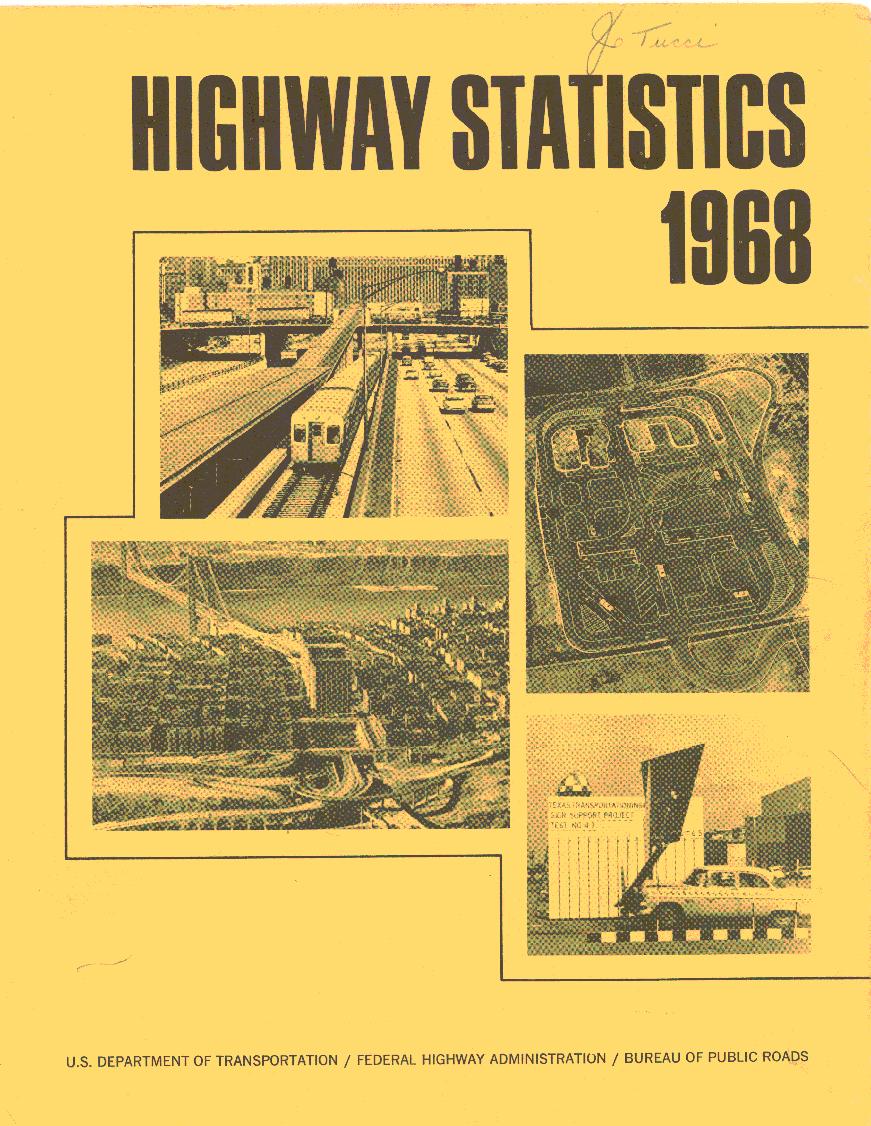
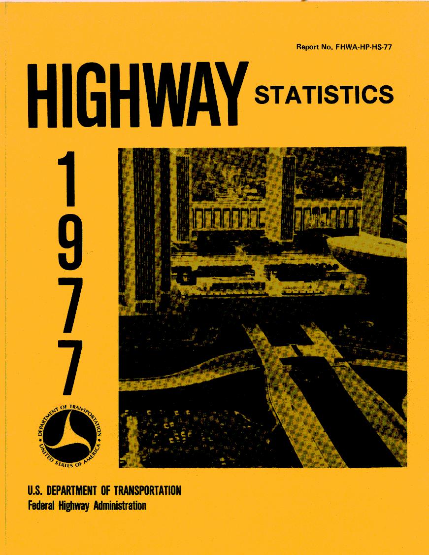
Every year since 1946, the US Government has produced a book of statistics detailing many aspects of federal and state interactions with road transportation. As I was pulling data from these books, it struck me that the covers of the various editions of the text are, themselves, an interesting microcosm of what was important and relevant to road transportation across time.
In this post, I’ve added a slide show of all of the covers of “Highway Statistics” that I could find (1946-1991, 1994-2006). I’ll try to add the missing ones from the 90’s (the historical archive server appears to be flaky as I’m writing this). After 2006, FHWA stopped producing “Highway Statistics” as a book (individual chapters are available as PDF, XLS, and HTML), but there’s no corresponding cover art that I can find.
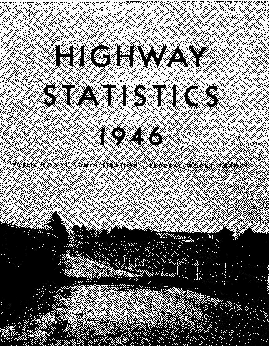
A secondary road in Frederick County, Maryland. 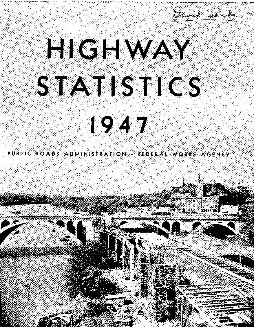
The K Street Viaduct connection with Key Bridge, Washington, D. C. 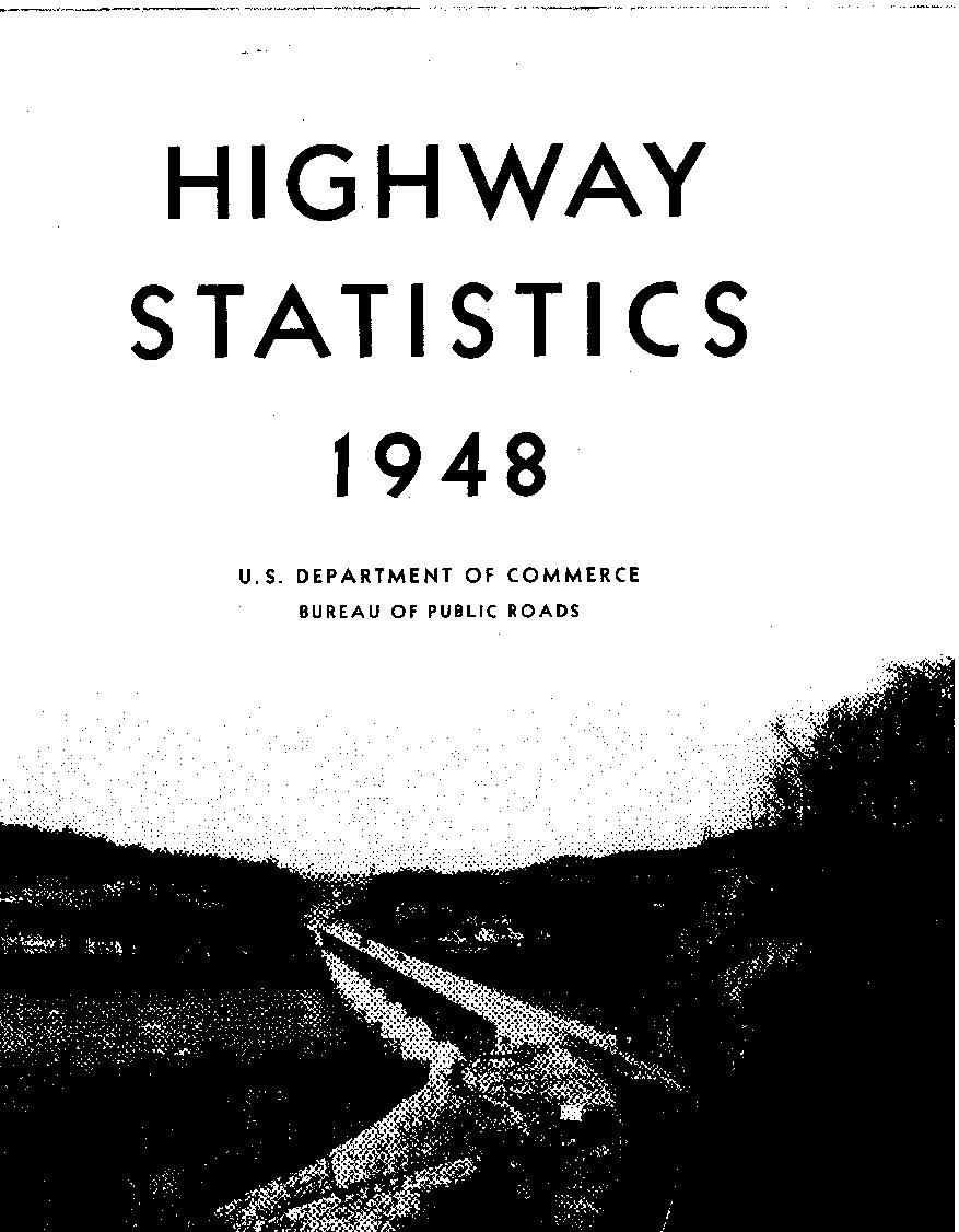
Bridge over the Potomac River at Harpers Ferry. 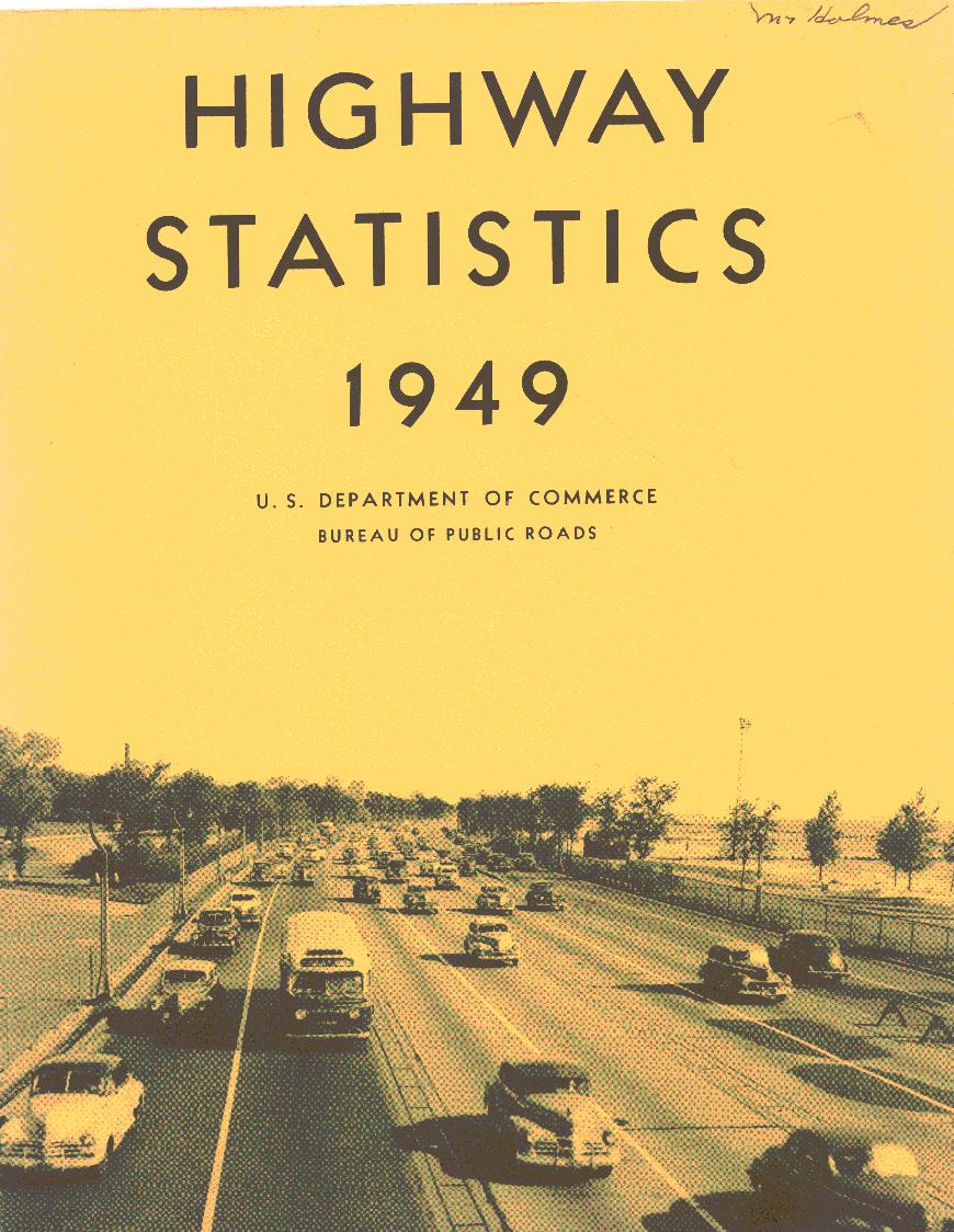
Lake Shore Drive, Chicago. 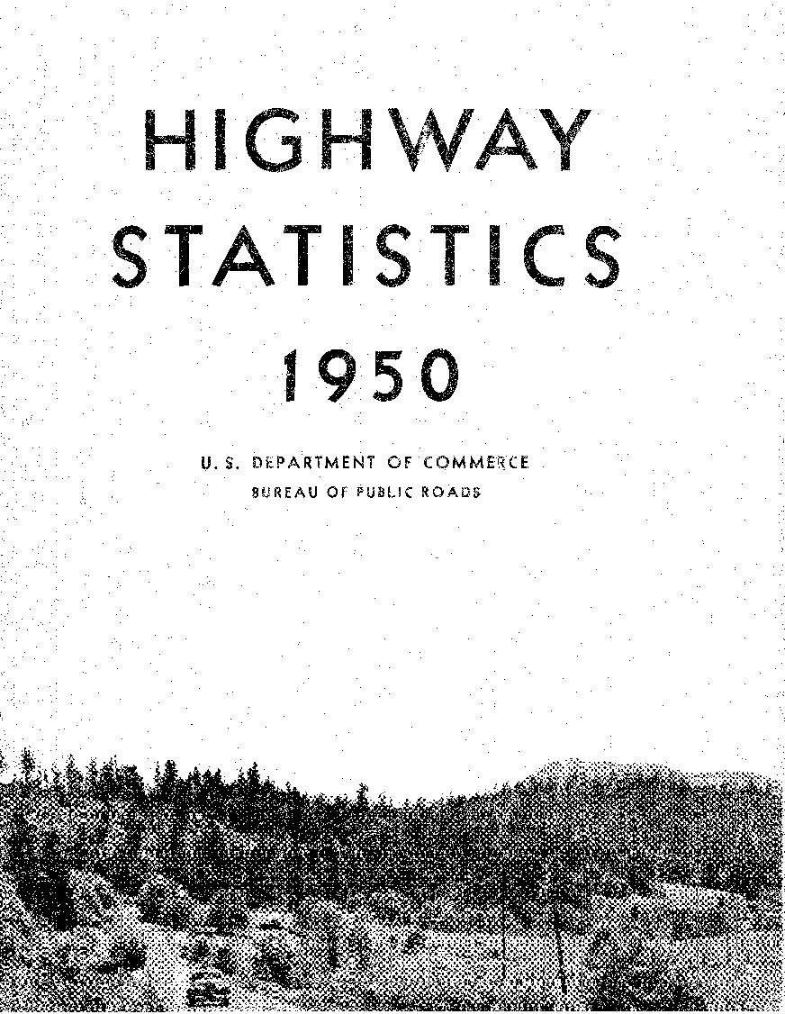
A Federal-aid Secondary Road, Benton County, Oregon. 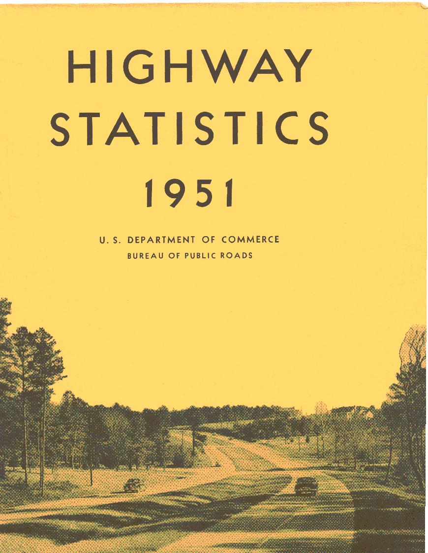
US 64 east of Raleigh, NC. 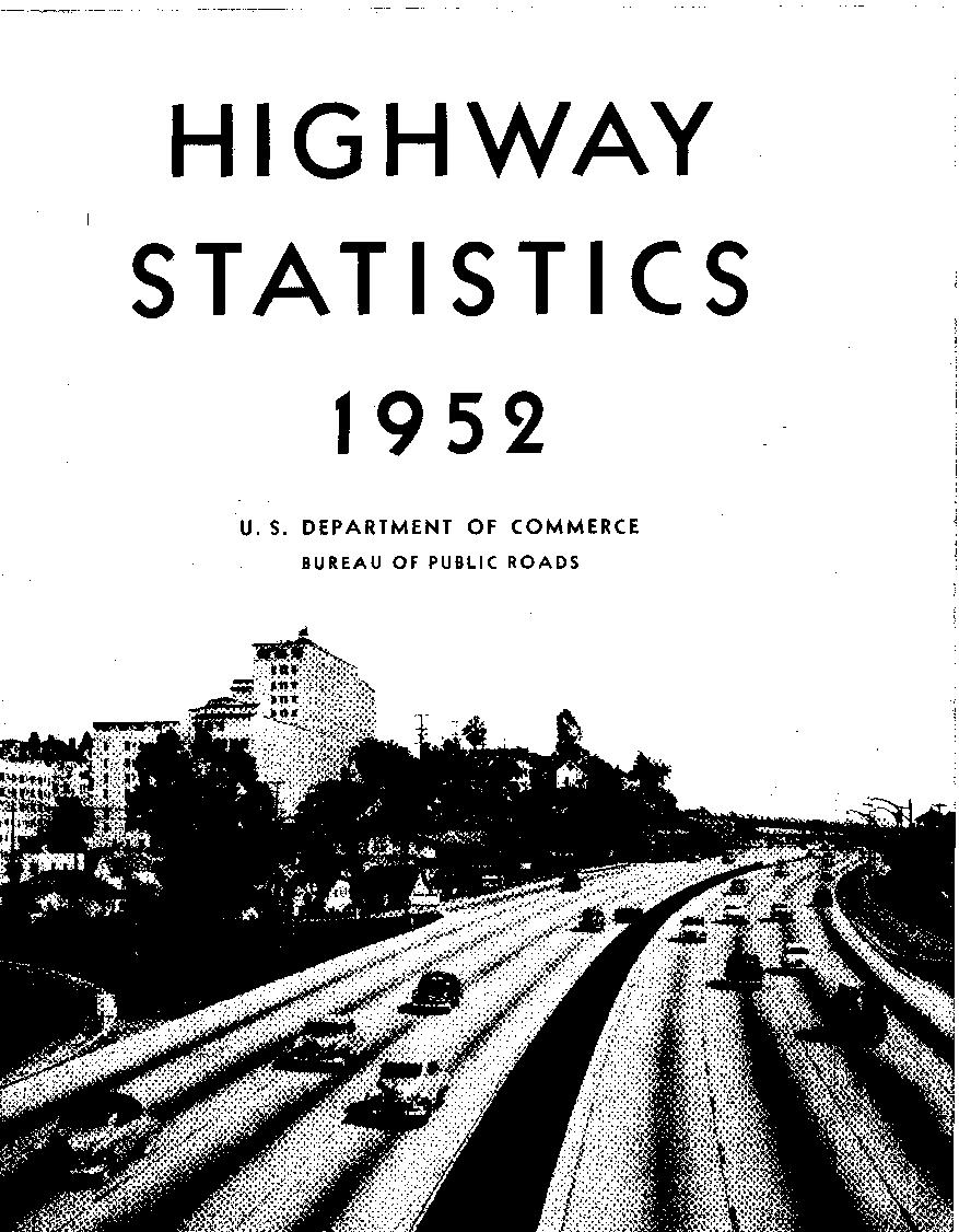
Hollywood Freeway, Calif. 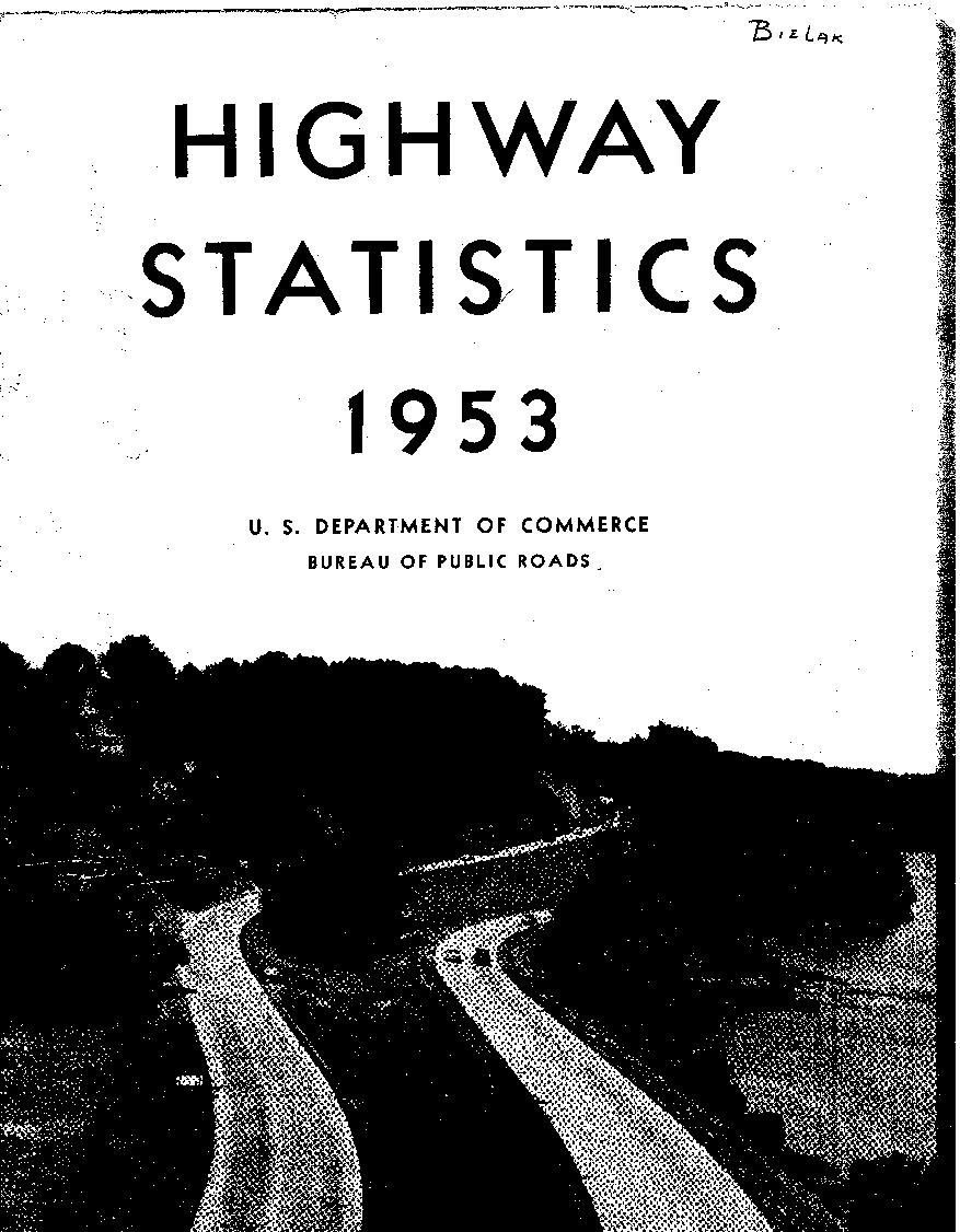
George Washington, Memorial Parkway, VA. 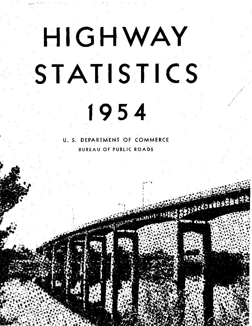
For River bridge at Little Chute, WI. This structure, located on the Federal-aid secondary system, was named the most beautiful bridge of its class in America by the Institute of Steel Construction. 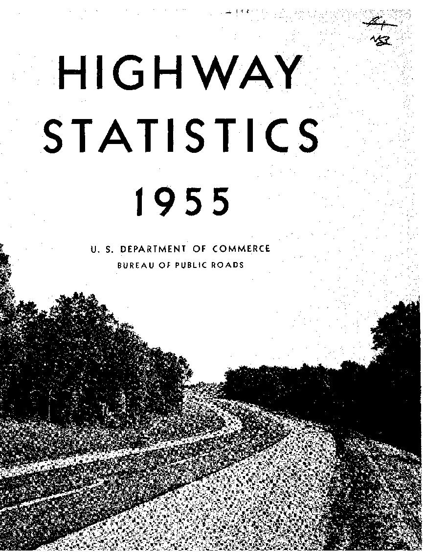
A section of US Route 240 between Frederick and Rockville, MD. This modern controlled-access highway is located on the National System of Interstate and Defense Highways. 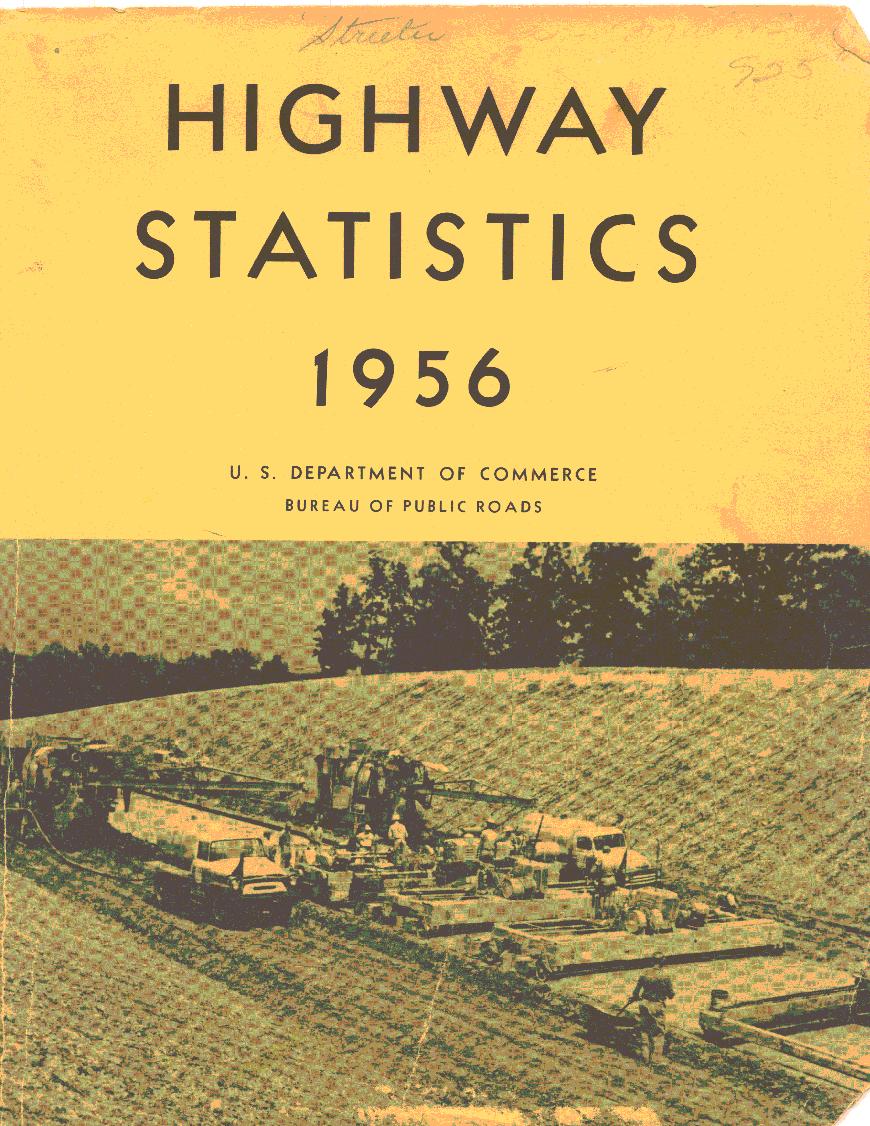
This Interstate Improvement in Laclede County, Missouri, will provide a controlled-access, four-lane divided highway for traffic bypassing Lebanon on US Route 66. 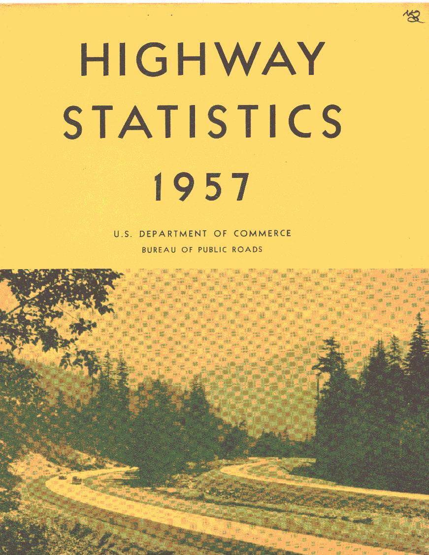
This Washington State Interstate System route follows the historic path of pioneers through Snoqualmie Pass in the forested Cascade Range, 40 miles east of Seattle. 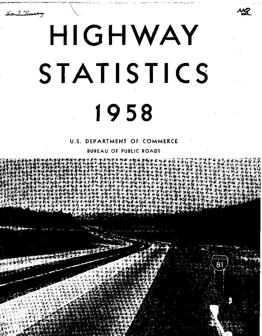
Interstate Route 81 south of Syracuse, NY. US Route 20 interchange may be seen in the background. 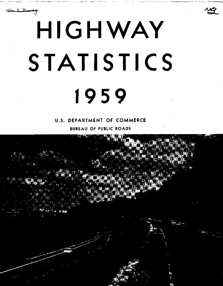
The George Washington Memorial Parkway in Virginia overlooking Washington, DC. 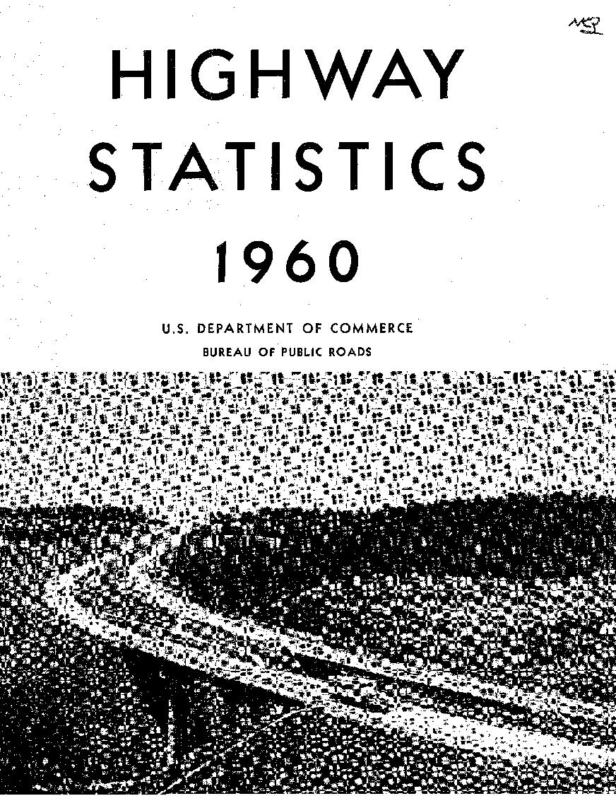
Interstate Route 83 at Hereford, Maryland. 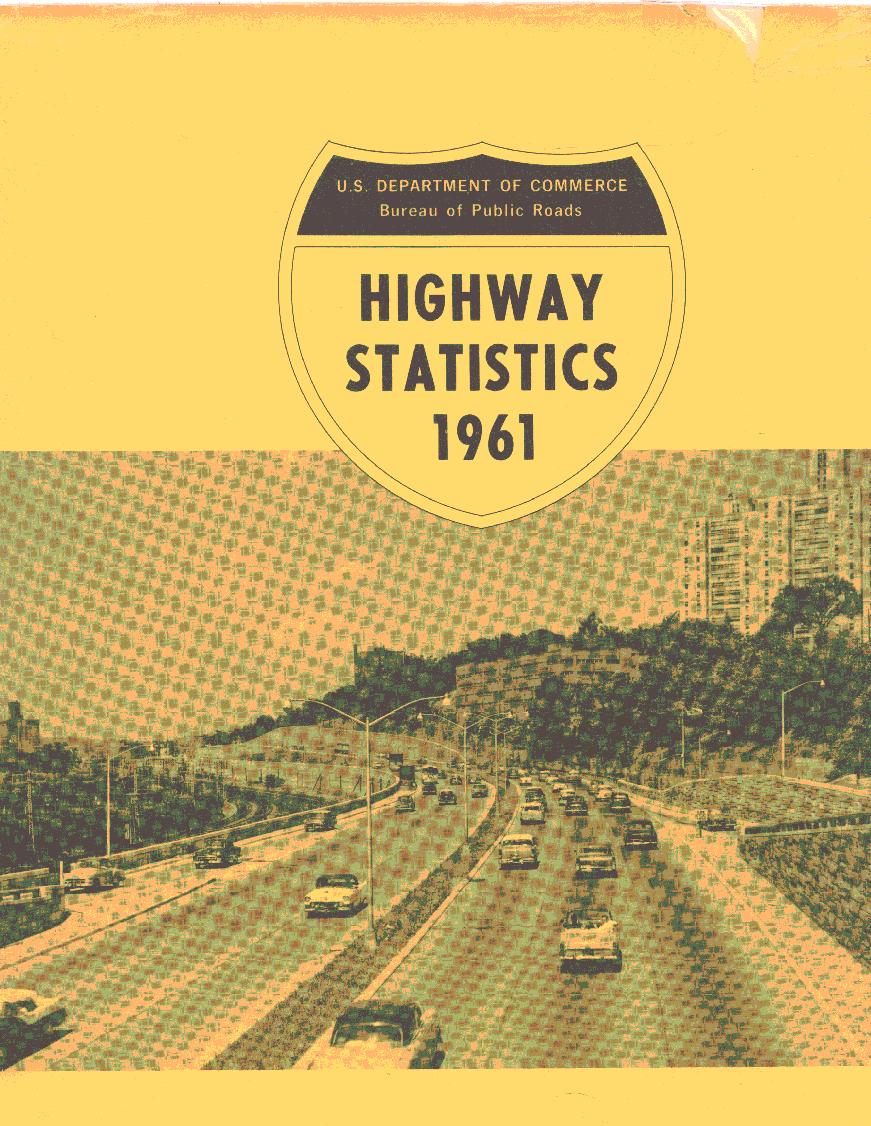
Major Deegan Expressway, New York City 
Scenic overlook on New Jersey I-80 at the Delaware Water Gap. 
Interstate Route 5, Mount Shasta, California. 
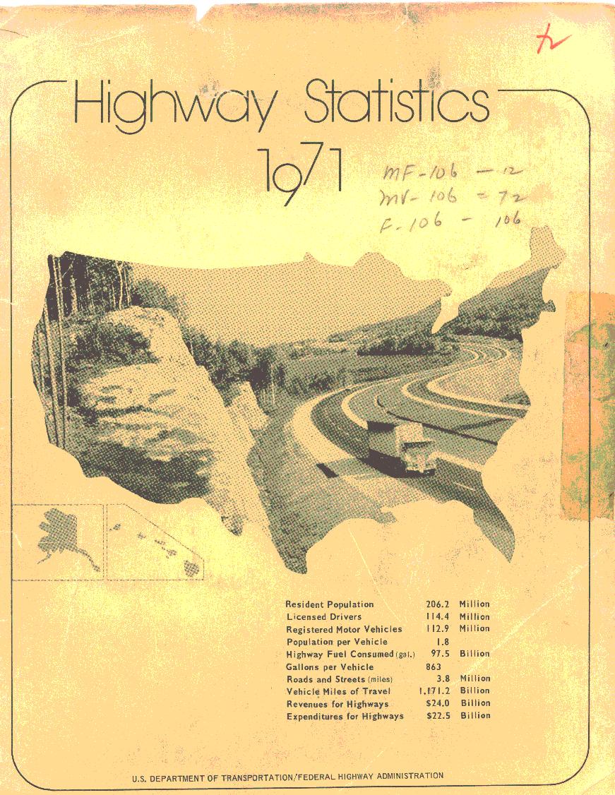
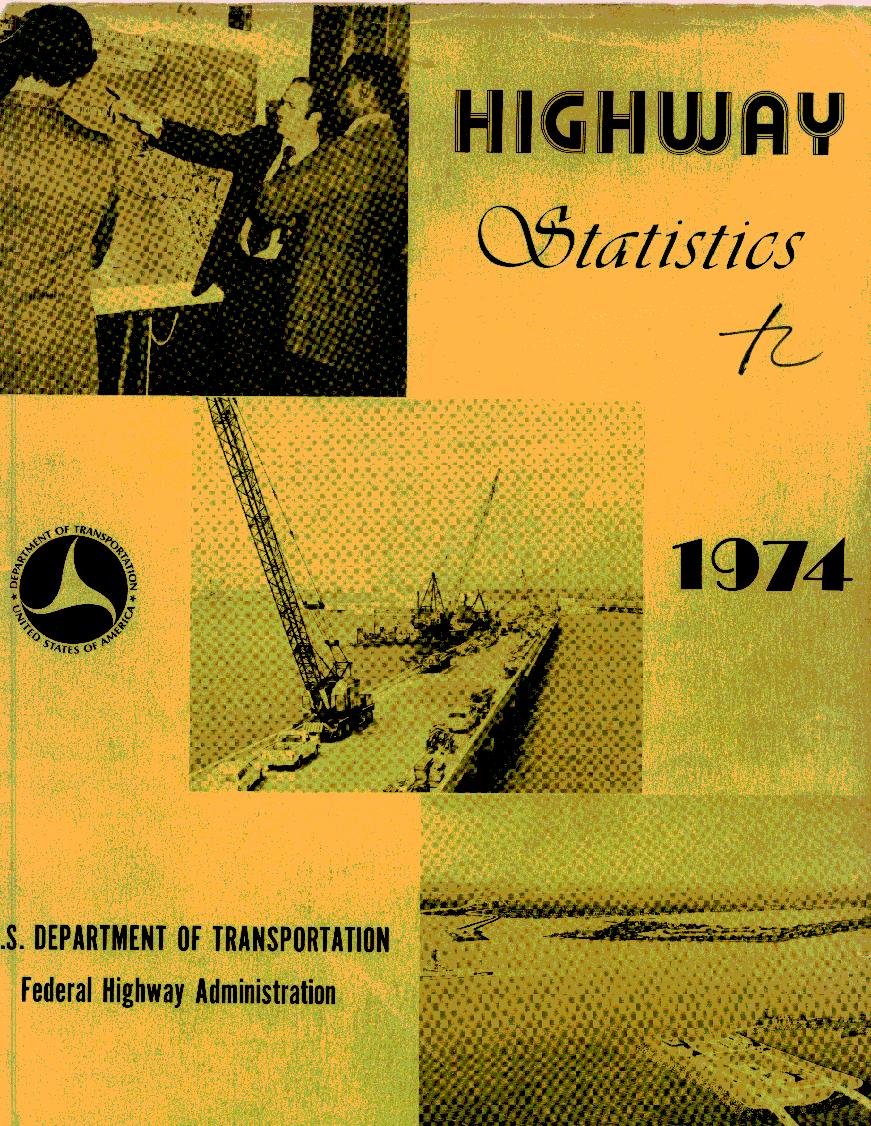
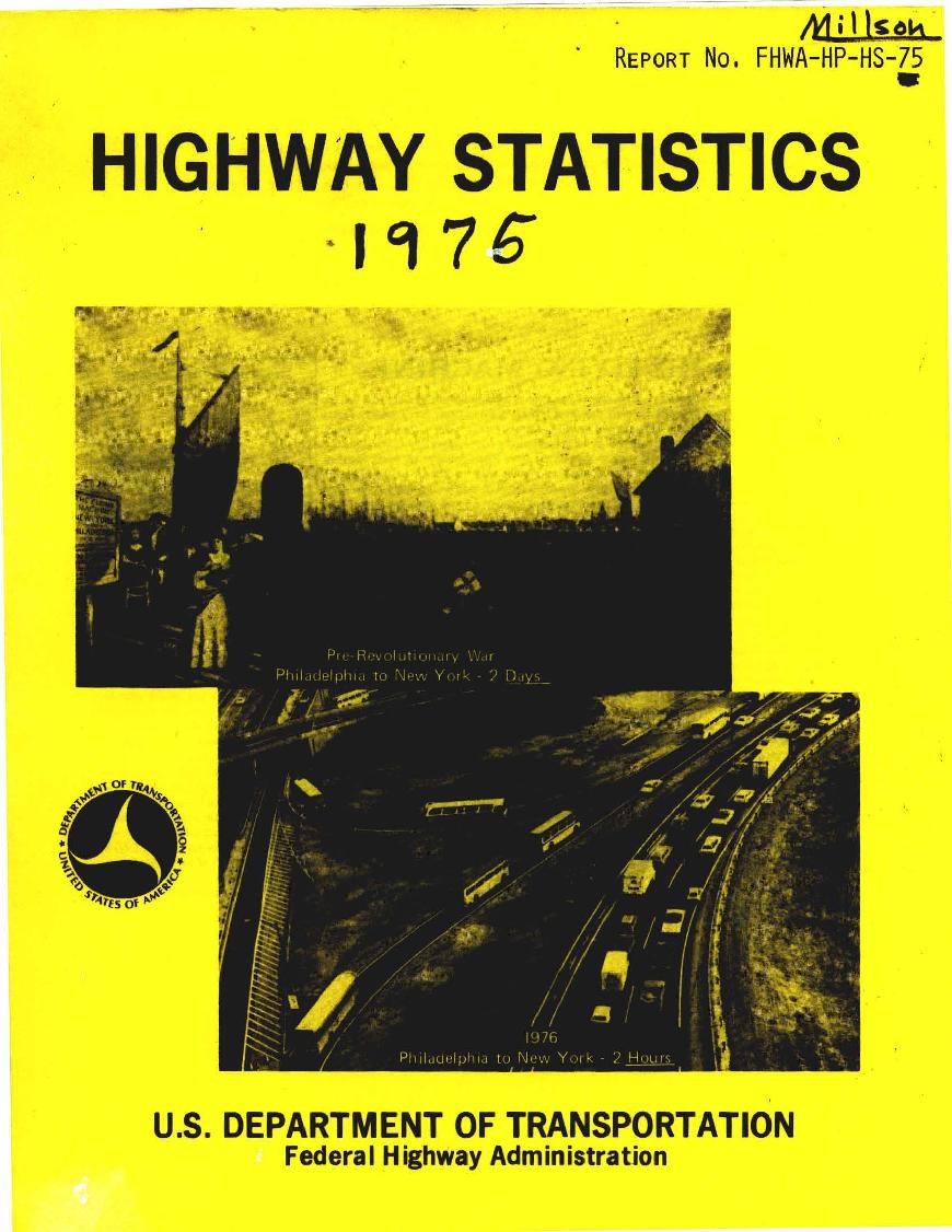
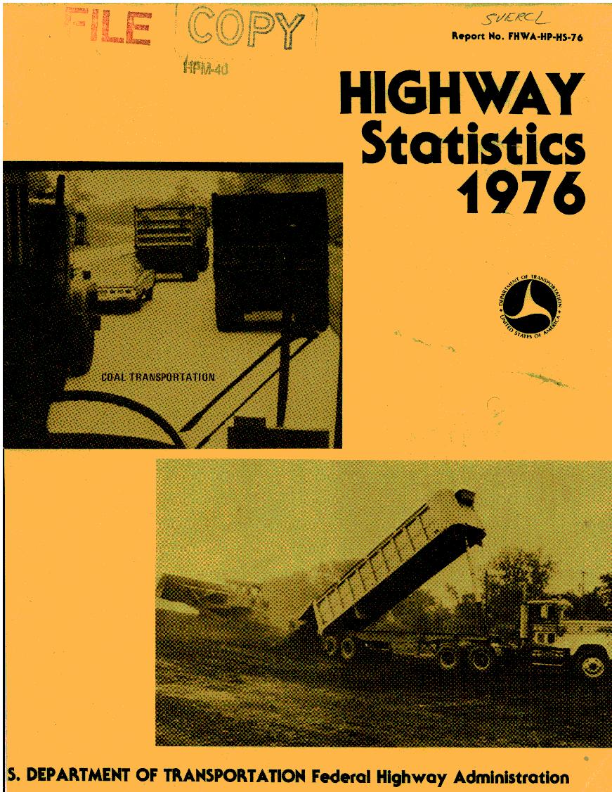
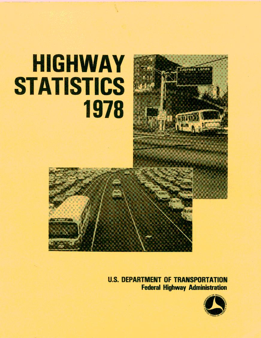
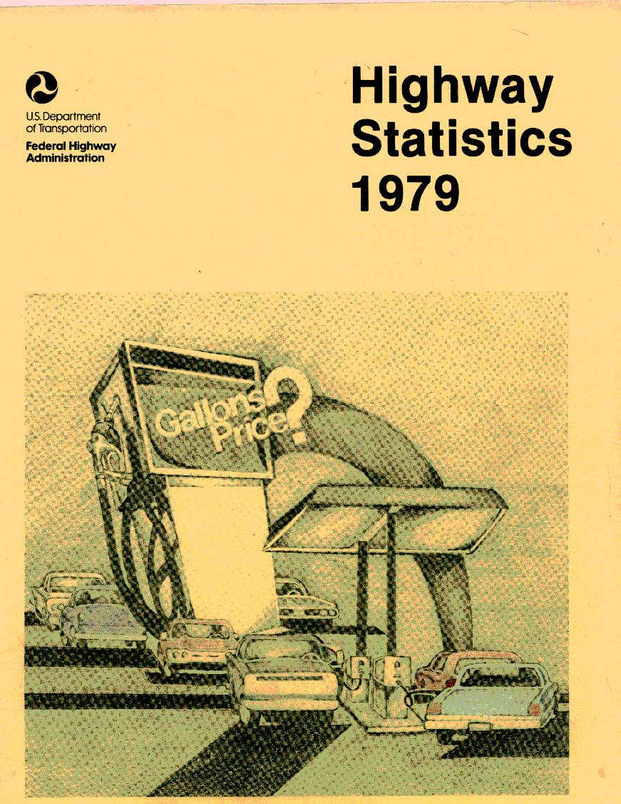
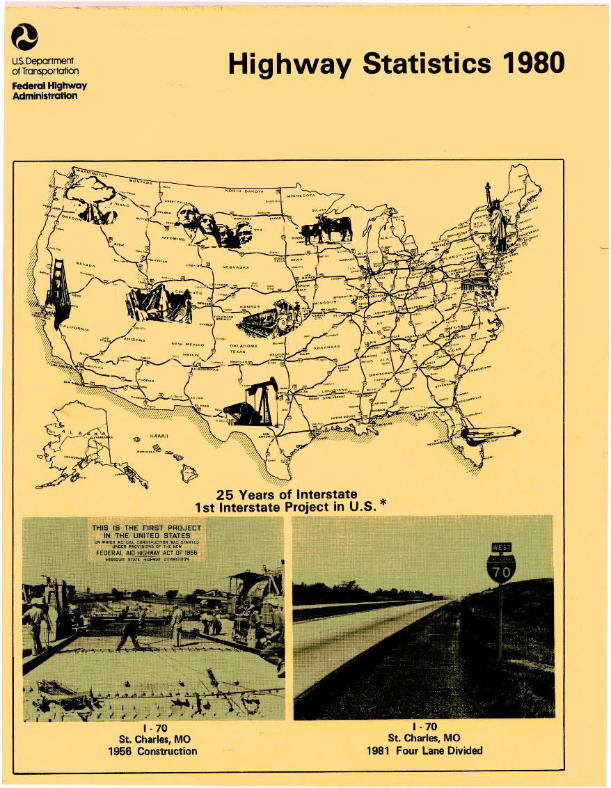
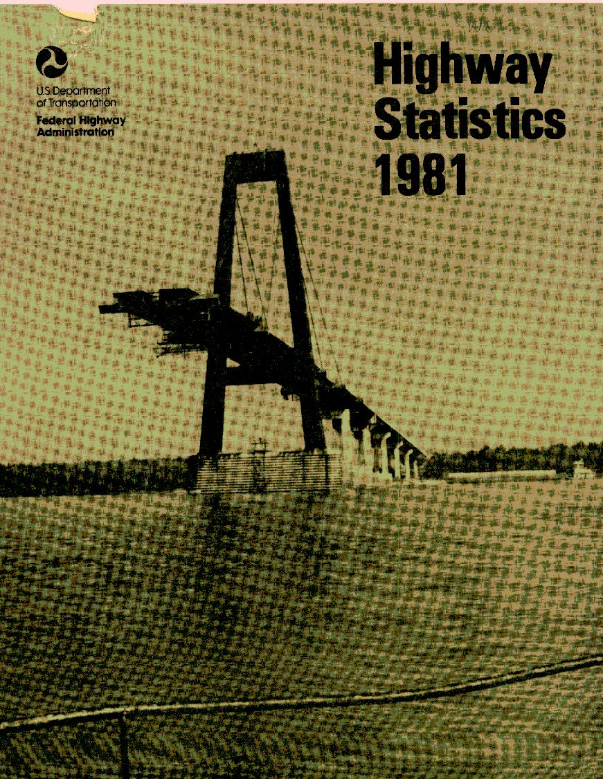
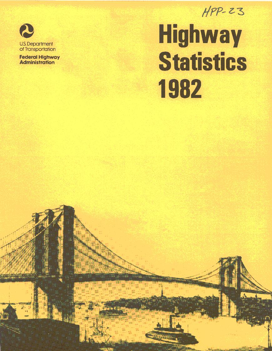
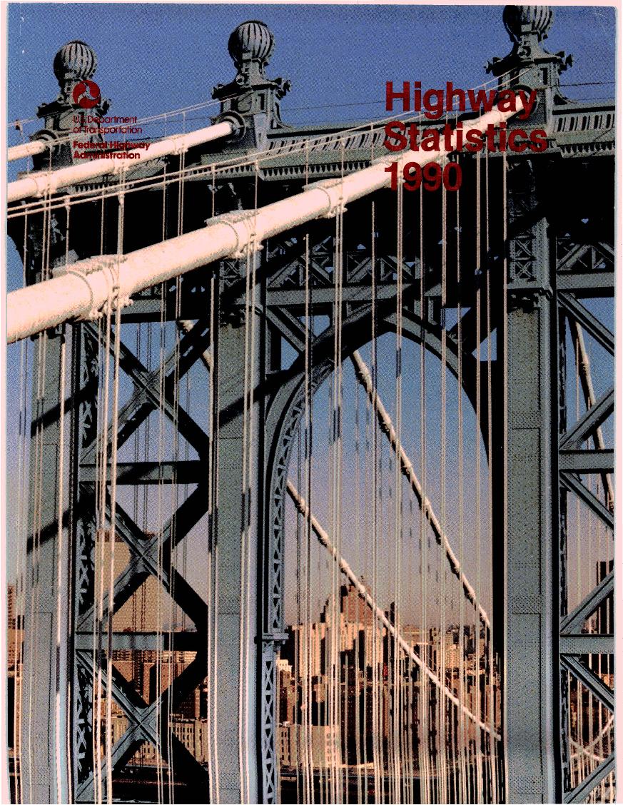
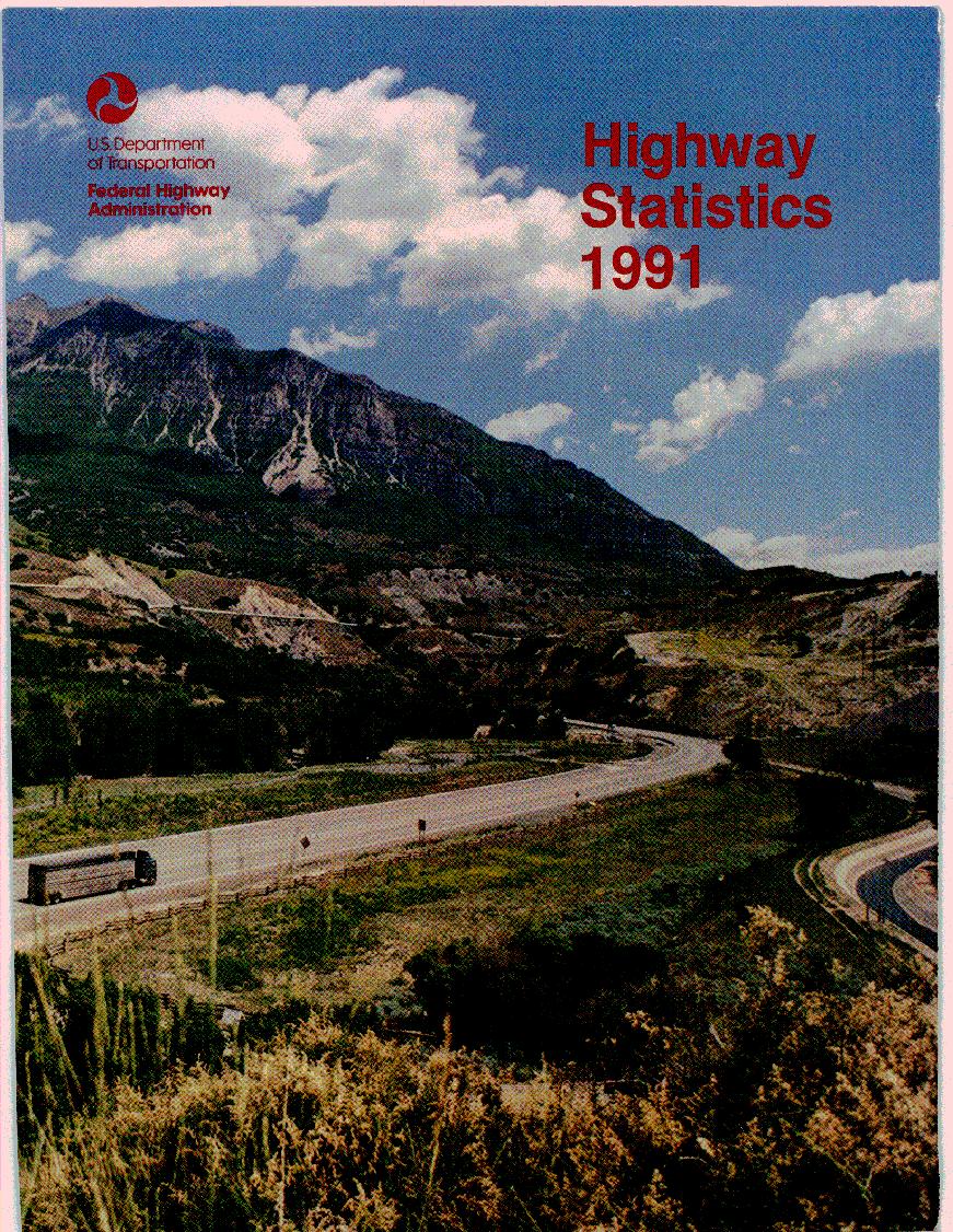
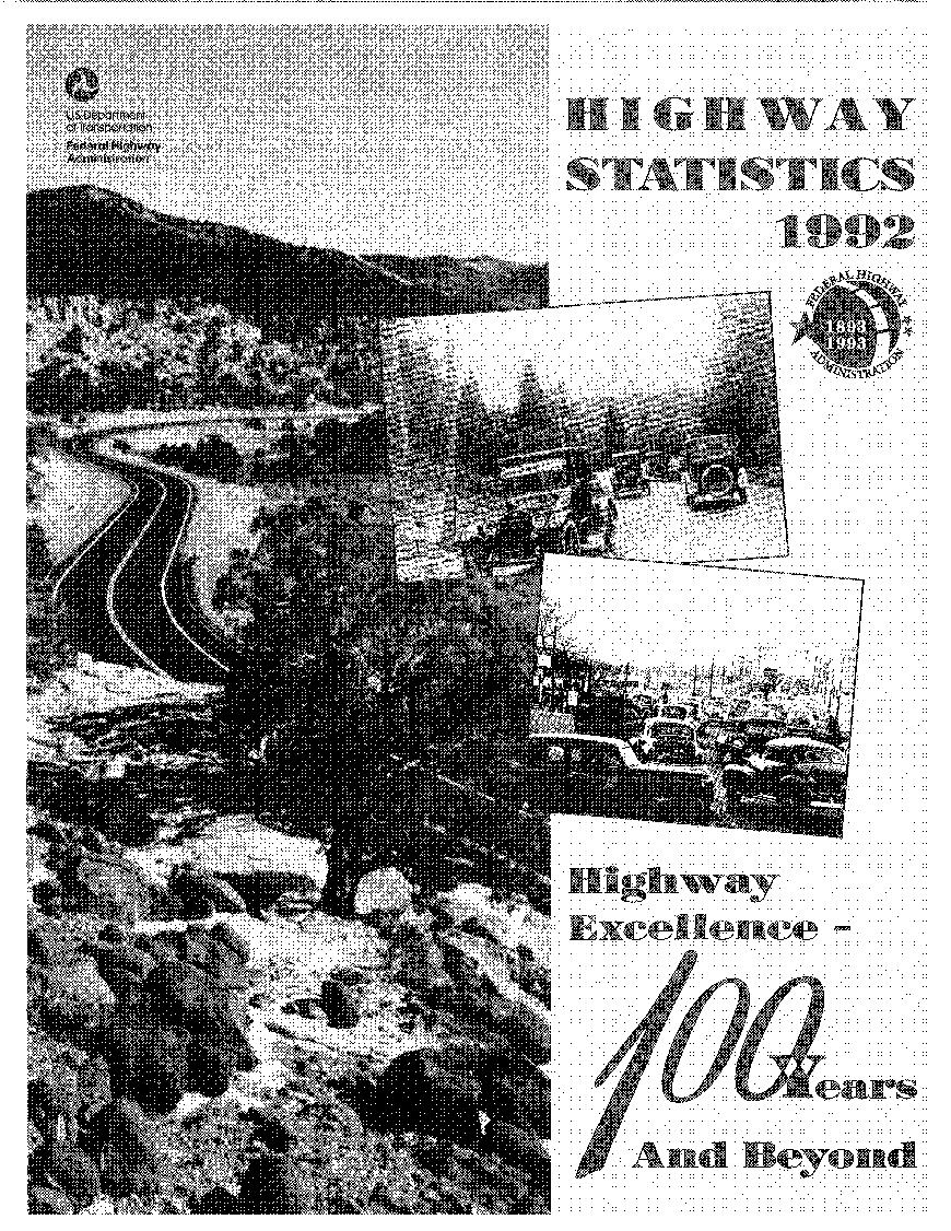
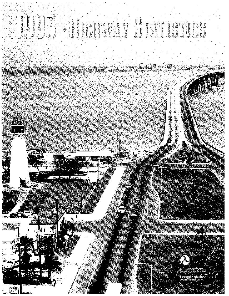


Some of these covers also contain people’s names and other handwritten notes. I think this is kind neat. I’m also adding the cover description (usually from the third page of the book) to each image.
| 1946-1947 | Public Roads Administration: Federal Works Agency |
| 1948-1964 | Bureau of Public Roads: US Department of Commerce |
| 1965-1968 | Bureau of Public Roads: Federal Highway Administration: US Department of Transportation |
| 1969-2006 | Federal Highway Administration: US Department of Transportation |
Leave a Reply